
Europe · Balkans
Travel to Montenegro: Kotor mouths and mountains
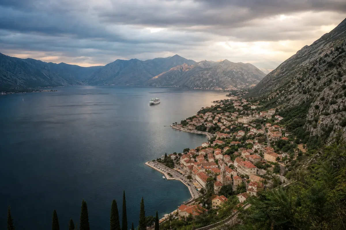
Montenegro is compact on the map but its roads are slow. Kotor Bay, coastline and northern parks combine with few bases.
Visual illustration — scenes do not document the current conditions of the place.
Factual references
Montenegro in practice
These benchmarks are used to identify the destination, read a motto and prepare contacts. They do not describe the entry conditions or the current security.
- Capital / institutional headquarters
- Podgorica
- Currency: code to be identified
- EUR · euro
- Telephone code
- +382
- Geographical code
- ME
The borders listed below correspond to the neighbours in the Azatour catalogue; they do not constitute an exhaustive list of all neighbouring countries.
Codes and monetary names: SIX, maintenance agency ISO 4217. Comparison of the benchmark made on October 6, 2026; the conditions of payment are verified with the provider.
Source: GeoNames, CountryInfo, import of , CC BY 4.0 license. The specific institutional seats are specified; no demographic data or exchange rates are included.
Destinations with a common land border
To consider a circuit, check separately the opening of borders, permits and transport. A common border does not guarantee an accessible crossing.
A step to understand and organize
Kotor: distinguishing bay, city and relief
Kotor's heritage links a natural port of the Adriatic and a cultural complex including old walls and buildings.
Source of the benchmark: UNESCO World Heritage Record. UNESCO DataHub Reference . This source documents the subject; access, tickets and transport must be confirmed separately.
The decision that changes this stage
Choose between walking around the city, hiking on the relief and exploring the bay. Cumulating the three demands more than just a stop. Compare a marine excursion with a shore-based program and confirm separately the effort, appointment points and returns.
Three points to confirm before booking
- Ashore or sea route selected
- Effort for high-rise sectors
- Return from point of arrival
Why go?
Experiences to be missed
Use these markers to compose a program adapted to your pace. Travel times, season and accommodation location count as much as the number of places visited.
Bouches of Kotor
Fortified cities and bay visit each other early.
Durmitor
Hiking and canyon depend on the weather.
Lake Skadar
Navigation and villages complete the route.
Route idea
A route to be adapted, not to be followed
This frame helps to visualize the pace of the journey. Keep margin for transfers, weather and unexpected discoveries.
- Days 1–3
Kotor
Explore the bay from a base.
- Days 4–6
Durmitor
Plan several nights in the mountains.
- Days 7–8
Skadar
Finish with the lake or the coast.
When to leave
Choose the right time
There is not a single ideal season: the best time depends on the areas visited, your activities and your tolerance to the influx or weather variations.
Spring
Good for cities and low hikes.
Summer
Loaded coast and slow roads.
Autumn and winter
Mountain and services to be checked.
Before booking
Checks that avoid bad surprises
- Anticipate coastal traffic.
- Check parking and access to old cities.
- Control weather and mountain trails.
- Read insurance and cross-border.
The formalities and recommendations may change. Check them before departure and check local information to prepare visits.
Travel Reports — France DiplomacyFrequently Asked Questions
Montenegro: questions before departure
How many days?
A week allows coast and an inner region.
Do you need a car?
It facilitates the North but is in some coastal cities.
Where to stay in the bay?
Choose depending on parking, quiet and access to boats.
When to hike?
Check snow, heat and trail conditions.