
Africa · Indian Ocean
Travel to Madagascar: parks, roads and routes
Madagascar takes time: roads are long and each region offers a distinct biodiversity. A main axis and some parks make up a realistic journey.
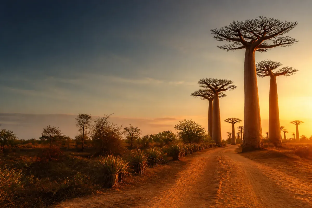
Visual illustration — scenes do not document the current conditions of the place.
Factual references
Madagascar in practice
These benchmarks are used to identify the destination, read a motto and prepare contacts. They do not describe the entry conditions or the current security.
- Capital / institutional headquarters
- Antananarivo
- Currency: code to be identified
- MGA · Malagasy Ariary
- Telephone code
- +261
- Geographical code
- MG
The borders listed below correspond to the neighbours in the Azatour catalogue; they do not constitute an exhaustive list of all neighbouring countries.
Codes and monetary names: SIX, maintenance agency ISO 4217. Comparison of the benchmark made on October 6, 2026; the conditions of payment are verified with the provider.
Source: GeoNames, CountryInfo, import of , CC BY 4.0 license. The specific institutional seats are specified; no demographic data or exchange rates are included.
A step to understand and organize
Andrefana: name the natural component of the course
The dry forests of Andrefana are a series of landscapes of tsingy. It does not correspond to a single point of visit.
Source of the benchmark: UNESCO World Heritage Record. UNESCO DataHub Reference . This source documents the subject; access, tickets and transport must be confirmed separately.
The decision that changes this stage
Ask for the exact park or component your operator plans to reach. Compare the value of an additional step with the links, the conditions of the path and the time available. A formula simply named "tsingy" must still specify the route, equipment and withdrawal.
Three points to confirm before booking
- Designated Park and Component
- Conditions of connections at the date chosen
- Travel-friendly route
Why go?
Experiences to be missed
Use these markers to compose a program adapted to your pace. Travel times, season and accommodation location count as much as the number of places visited.
Highlands
Cities and landscapes structure the main roads.
Parks
Each park requires adapted guide, access and season.
Coast
Beaches often require flight or long roads.
Route idea
A route to be adapted, not to be followed
This frame helps to visualize the pace of the journey. Keep margin for transfers, weather and unexpected discoveries.
- Days 1–3
Antananarivo and departure
Keep a night buffer.
- Days 4–10
A regional axis
Stay for several nights near the parks.
- Days 11–15
Coast or extension
Add an extension without tight match.
When to leave
Choose the right time
There is not a single ideal season: the best time depends on the areas visited, your activities and your tolerance to the influx or weather variations.
Dryer period
Roads often simpler and demand higher.
Rain period
Disturbed access and cyclonic risk.
By region
Climate and wildlife vary greatly.
Before booking
Checks that avoid bad surprises
- Calculate the journeys in hours and days.
- Choose identifiable driver and guide.
- Keep a margin around domestic flights.
- Check for health, insurance and official recommendations.
The formalities and recommendations may change. Check them before departure and check local information to prepare visits.
Travel Reports — France DiplomacyFrequently Asked Questions
Madagascar: Questions Before Departure · Global Voices
How many days?
Two weeks are a comfortable minimum for a region.
Do you need a driver?
It often facilitates long roads and logistics.
Which region to choose?
Go from parks, landscapes or priority beaches.
When to leave?
The dry season is often simpler, depending on the region.
Pursue as you please
Travel ideas around Madagascar
These files compare several destinations according to the type of stay. They help to put this guide back in a wider choice.