
South America
Trip to Ecuador: Andes, Amazonia and Galápagos
Ecuador brings together Andes, Amazonia and Pacific on an apparently compact territory. Altitude, roads and security require limiting regions.
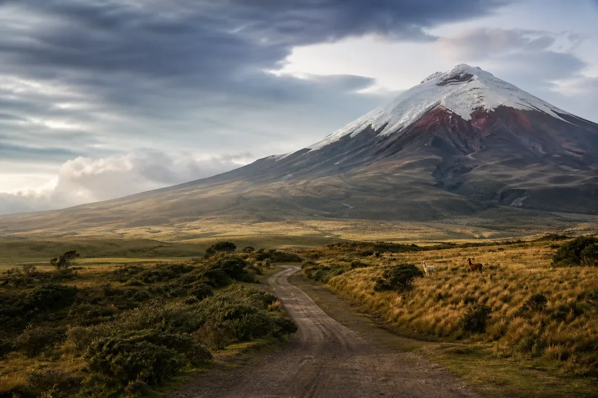
Visual illustration — scenes do not document the current conditions of the place.
Factual references
Ecuador in practice
These benchmarks are used to identify the destination, read a motto and prepare contacts. They do not describe the entry conditions or the current security.
- Capital / institutional headquarters
- Quito
- Currency: code to be identified
- USD · dollar américain
- Telephone code
- +593
- Geographical code
- EC
The borders listed below correspond to the neighbours in the Azatour catalogue; they do not constitute an exhaustive list of all neighbouring countries.
Codes and monetary names: SIX, maintenance agency ISO 4217. Comparison of the benchmark made on October 6, 2026; the conditions of payment are verified with the provider.
Source: GeoNames, CountryInfo, import of , CC BY 4.0 license. The specific institutional seats are specified; no demographic data or exchange rates are included.
Destinations with a common land border
To consider a circuit, check separately the opening of borders, permits and transport. A common border does not guarantee an accessible crossing.
A step to understand and organize
Cuenca: taking time to read a city of the Andes
The historic centre of Cuenca, in an Andean valley, retains an orthogonal urban plan and architectural heritage developed over several periods.
Source of the benchmark: UNESCO World Heritage Record. UNESCO DataHub Reference . This source documents the subject; access, tickets and transport must be confirmed separately.
The decision that changes this stage
Compare a transit step with a base leaving time for the walk and an inside visit. Ask for the actual route between your arrival and the accommodation. If an out-of-town trip is a priority, keep part of the stay for the urban fabric instead of just crossing it.
Three points to confirm before booking
- Arrival journey to the accommodation
- Domestic inspection
- Urban time distinct from excursions
Why go?
Experiences to be missed
Use these markers to compose a program adapted to your pace. Travel times, season and accommodation location count as much as the number of places visited.
Quito
Heritage and altitude impose a progressive rhythm.
Volcanoes Avenue
Markets, parks and cities connect by road.
Galápagos
Flights, rights and cruises require a dedicated organization.
Route idea
A route to be adapted, not to be followed
This frame helps to visualize the pace of the journey. Keep margin for transfers, weather and unexpected discoveries.
- Days 1–3
Quito
Acclimatize before excursions.
- Days 4–8
Andes
Choose two bases maximum.
- Days 9–14
Amazonia or Galápagos
Add one important extension.
When to leave
Choose the right time
There is not a single ideal season: the best time depends on the areas visited, your activities and your tolerance to the influx or weather variations.
Andes
Changing weather related to altitude.
Amazonia
Heat, humidity and frequent rains.
Galápagos
Marine conditions and wildlife vary by month.
Before booking
Checks that avoid bad surprises
- Check the updated areas not recommended.
- Use identifiable transportation and guides.
- Plan for an acclimatization in Quito.
- Check insurance and evacuation for remote areas.
The formalities and recommendations may change. Check them before departure and check local information to prepare visits.
Travel Reports — France DiplomacyFrequently Asked Questions
Ecuador: Questions Before Departure · Global Voices
How many days?
Two weeks allow the Andes and an extension.
Should we add the Galápagos?
Yes with at least four to six additional days.
How to manage altitude?
Start slowly and adjust the effort.
Can we drive?
A car helps on some axes, with caution and checked itinerary.
Pursue as you please
Travel ideas around Ecuador
These files compare several destinations according to the type of stay. They help to put this guide back in a wider choice.